Poetic and Prophetic Literature of the Old Testament
RELG 301
Course Notes - The Geographic Setting
Images in the text are linked to larger pictures - click on them to see the larger pictures.
Hover the mouse over the images to see their captions.
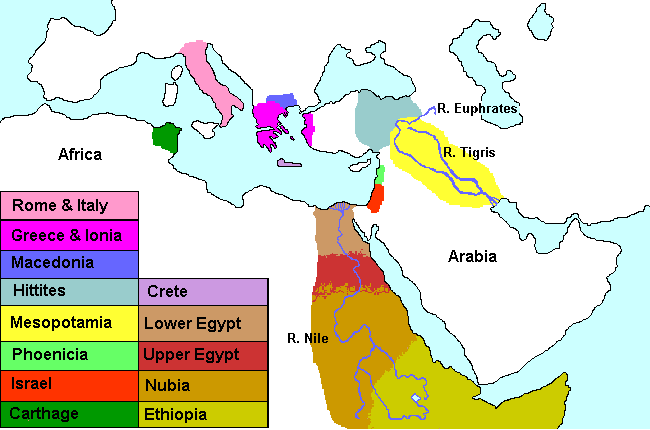
The land of Israel lies on the eastern edge of the Mediterranean Sea.
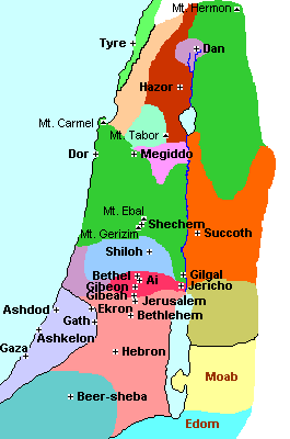
A mountain chain runs roughly North-South, separating the coastal plain on the west from the valley of the Jordan river to the east.
The Jordan river flows into the Dead Sea - the lowest place on the surface of the earth.
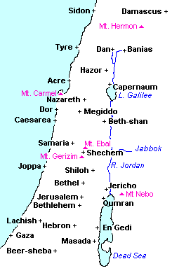 The city of Jerusalem is located on the mountains, towards the south.
To the south of Israel is the Negev desert and the mountains which include Mount Sinai.
Further south and west the land opens into the land of Egypt.
To the north of Israel is the land of Lebanon, including the coastal cities of Tyre and Sidon
 Israel is bordered on the west by the Mediterranean Sea. There are few suitable places for harbors on the coast of Israel, because of a strong current caused by the waters of the River Nile entering the sea from Egypt to the south. The current deposits sand on the coast of Israel, forming long shallow beaches with no protection for shipping.
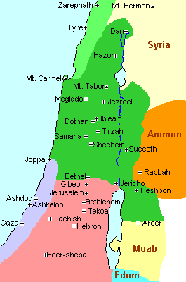 Along the coastal plain there is a major trade and military route, called "the Way of the Sea", leading from Egypt in the south to the valley of Megiddo in northern Israel. At the valley of Megiddo the road branches. One route continues north to Lebanon and eventually to the land of the Hittites in what is now eastern Turkey.
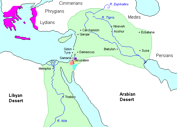 Another route turns north-east through the valley of Megiddo to Damascus in Lebanon; from Damascus the route continued eastward into Mesopotamia - the home of Assyria, Babylonia, and (later) Persia.
The Jordan river runs north to south at the eastern border of Israel, though in Old Testament times the Israelite tribes of Reuben, Gad, and part of the tribe of Manasseh decided to settle to the east of the Jordan.
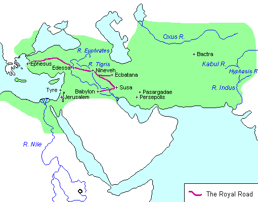 Another major trade route, "the Kings' Highway" ran from Damascus in the north, to the Gulf of Aqaba and Arabia in the south.
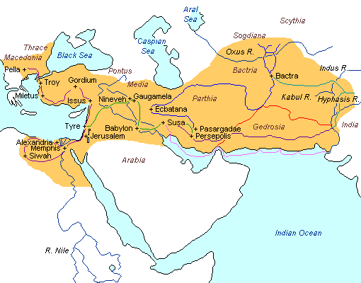 The trade routes were also used for military purposes. When Egypt was at war with other powerful nations, the armies used the Way of the Sea to march through Israel, often meeting in battle in the valley of Megiddo. So Israel was drawn into the military sphere of Egypt versus the Hittites, the Assyrians, the Babylonians, the Persians, and eventually Alexander the Great and then the Romans.
Copyright © 2025 Shirley J. Rollinson, all Rights Reserved